 Strata Design Journal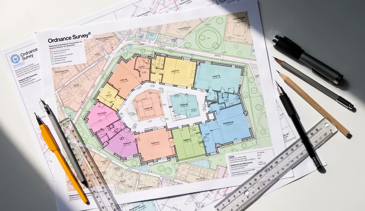

Rural infill development sits under intensive planning scrutiny across Ireland and the United Kingdom. Local planning authorities manage rural housing demand through restrictive settlement strategies designed to curb ribbon development, conserve biodiversity, and protect agricultural land. An infill site, typically defined as a gap in an existing, continuous line of residential dwellings along a road frontage, rarely receives an automatic pass through the planning system. Securing permission requires applicants and architects to construct an airtight evidence base across statutory need, environmental impact, technical infrastructure, and local architectural context.
Planning officers weigh infill proposals against statutory County Development Plans and national policy frameworks. A misstep on sightline geometry, groundwater clearance, or local housing need documentation can trigger a refusal or an open-ended request for further information that adds months to project schedules. This checklist sets out the technical, spatial, and documentation protocols required to prepare a defensible rural infill planning application.
Demonstrating Local Need Under County Development Frameworks
Most rural areas within commuting zones of towns and cities fall under restrictive zoning classifications such as Areas Under Strong Urban Influence. Within these zones, planning authorities operate rural housing policies that restrict residential development to individuals who demonstrate a defined economic or social tie to the immediate geographic area. Infill status does not exempt an applicant from these requirements. Planning authorities demand verifiable, chronological proof that the intended occupant belongs to the rural community where the site sits.
Applicants must assemble a comprehensive local need dossier before committing capital to engineering or architectural details. Housing policies typically demand evidence spanning an unbroken period, frequently 7 to 10 years, showing primary residence or direct economic contribution within an 8-kilometre radius of the plot. Relying on casual statements or familial declarations guarantees a request for further information or a direct refusal under unsustainable rural settlement policies.
- Primary and secondary school records: Official transcripts and confirmation letters from school principals confirming dates of attendance and registered home addresses.
- Electoral register extracts: Historical records from the local authority register of electors verifying voting residence over consecutive election cycles.
- Financial and statutory notices: Consecutive revenue assessments, utility bills, bank statements, or motor tax discs covering the requisite multi-year duration.
- Agricultural or enterprise verification: Herd numbers, land registry folios for family-owned farmland, or documented agricultural business partnerships indicating active, site-adjacent work.
When the applicant claims an economic need, such as running a rural enterprise or working in an agricultural or forestry role, the submission must prove that the worker must live immediately adjacent to the enterprise. Where an applicant is acquiring the site from an established family landholding, the documentation must track the title chain and explain why alternative sites on the broader holding were rejected on access or landscape grounds.
EPA Site Characterisation and Wastewater Assessment Protocols
Rural infill sites without municipal sewerage depend entirely on on-site domestic wastewater treatment systems. In Ireland, these installations must comply with the Environmental Protection Agency (EPA) Code of Practice: Domestic Waste Water Treatment Systems (Population Equivalent <= 10), published in 2021. Planning authorities treat ground conditions as non-negotiable threshold criteria. If a site fails ground percolation standards, permission will be denied regardless of the architectural quality or the applicant's local ties.
The site characterisation procedure must be conducted by an insured, certified site assessor who holds an accredited qualification recognized by the planning authority. The assessment requires an on-site excavation of a trial hole to an absolute minimum depth of 2.1 metres, or until bedrock, water ingress, or a confining soil layer appears. Assessor teams monitor the water table level and identify signs of mottling or saturation within the subsoil layers. The assessor then cuts trial holes for standard T-test and P-test percolation calculations.
| Subsoil Layer Indicator | Percolation Value Range | Design Implication |
|---|---|---|
| High-permeability gravel / sand | T or P value under 3 | Water drains too rapidly without purification; requires imported soil polishers or tertiary filters to protect aquifers. |
| Silty clay loam | T or P value between 3 and 50 | Acceptable for standard subsurface infiltration or packaged treatment plants with secondary polishing filters. |
| Dense clay, pan layer, or gley | T or P value over 50 (or 75 for P) | Unacceptable risk of ponding; conventional infiltration impossible. Site may require raised sand-polishing filters or discharge licenses. |
| High winter water table | Water strikes within 0.9m of surface | Ground fails standard direct infiltration; demands a raised distribution mound to maintain vertical separation to groundwater. |
The EPA Code of Practice demands strict separation distances between the treatment system and adjacent features. A typical infill site is bounded by existing wells, domestic drains, and neighboring houses, making spatial layouts challenging. The polishing filter or percolation trench must sit at least 10 metres from any dwelling house, 3 metres from any boundary line, 4 metres from road surfaces, and between 15 and 60 metres from any down-gradient drinking water well, depending on groundwater flow direction and subsoil vulnerability.
Road Sightline Geometry and Boundary Hedgerow Retention
Achieving safe vehicular access to a rural road network without stripping the public edge of its vegetation presents a recurring challenge on rural infill plots. Planning departments evaluate vehicular entrances against the Design Manual for Urban Roads and Streets (DMURS) on lower-speed road sections, or against National Roads Authority / Transport Infrastructure Ireland (TII) standards on higher-speed rural routes. The applicant must calculate stopping sight distances (SSD) tailored directly to the recorded 85th percentile road speeds, not merely the posted speed limit.
Sightline visibility splays are measured from a setback distance, termed the "X" distance, along the center line of the proposed access road, looking left and right along the edge of the running lane to a target distance, termed the "Y" distance. While DMURS allows an X-distance of 2.4 metres (or occasionally 2.0 metres in low-speed urban-adjacent infill contexts), rural speed regimes on regional or local roads typically dictate an X-distance of 2.4 to 3.0 metres. If the access emerges onto an 80-kilometre-per-hour road, the planning authority will routinely mandate Y-distances between 90 and 160 metres in both directions.
Where established roadside hedgerows obstruct the sightline splay, councils now prioritize native hedgerow retention over clear-cutting. Wholesale hedgerow removal will trigger ecological objections under local biodiversity action plans. Applicants must balance access safety and nature conservation through specific geometric solutions:
- Hedgerow translocating: Excavating the root plate of the existing roadside hedge during the dormant season (November to February) and resetting it behind the visibility splay line.
- Coppicing and replanting: Cutting over-mature hedging down to basal stems to allow clear visibility across the lower profile, complemented by replacement planting with native hawthorn, blackthorn, and holly inside the plot.
- Shared vehicular access points: Pairing the proposed access point with an existing neighboring gateway to reduce new breaks in the continuous roadside boundary bank.
- Splayed dry-stone walls: Setting back stone walls at precise 45-degree angles to the carriageway edge, preserving local heritage walling patterns while achieving required visibility cones.
Massing Approaches for Reducing Landscape Dominance
Planning guidelines for rural housing discourage imposing, suburban architectural styles. Infill dwellings must respond directly to the prevailing grain, scale, and building patterns established by the existing structures along the roadway. Inserting a deep-plan, double-fronted mansion into a lane characterized by modest single-storey cottages or vernacular farmsteads will result in refusal on visual amenity grounds.
Architects must use narrow-plan massing strategies. A building plan depth held between 6.0 and 7.5 metres allows the structural roof pitch to fall naturally between 35 and 45 degrees, creating a traditional gable profile without introducing excessive ridge heights. To accommodate larger internal floor plates without towering over the road, designers break the building volume into distinct pavilions or linked wings, such as an L-shaped or T-shaped configuration, mimicking the incremental growth of traditional farmyard compounds.
Site topography dictates the section. Infill plots rarely provide uniform, horizontal ground; many feature steep grades or wet hollows. The design must minimize mass cut-and-fill earthworks, which leave harsh structural scars on the landscape. Instead, the floor slab should step down the slope across split levels, keeping the overall building profile settled into the natural ground contours.
Material palettes must reflect the surrounding visual vernacular. Exterior surfaces should prioritize roughcast or smooth lime-based renders, natural fieldstone accents gathered from site clearance, untreated timber cladding such as larch or cedar, and dark, non-reflective natural slates or corrugated zinc sheeting. Highly reflective glazed gables, mock-classical porticos, and non-native synthetic materials are routinely cited in refusal orders as discordant, urbanizing elements.
Pre-Validation File Audit: Documents and Scale Verification
Planning administrative desks reject up to a third of submitted files at the intake counter due to non-compliance with statutory validation criteria. A validation rejection halts the legal processing of the file before any substantive design assessment occurs. Technical teams must audit all application documents against the governing Planning and Development Regulations before formal submission.
Scale bars, north points, and title blocks require rigorous consistency across all submitted architectural sheets. A plan drawn at 1:100 scale must read true when printed at the nominated paper size (such as A1 or A2), with an embedded, calibrated graphic scale bar present on every drawing. Elevation drawings must specify both finished floor levels (FFL) and overall ridge levels relative to a defined, permanent on-site datum (such as a manhole cover or fixed threshold) tied back to Ordnance Survey Malin Head datum figures.
Special scrutiny must fall on the site boundary red-line enclosure. The red line must run continuously around the proposed dwelling plot, the on-site wastewater disposal field, any rainwater attenuation areas, and the entire public road connection up to the center or opposite edge of the carriageway. Crucially, if the proposed vehicular sightlines require trimming or regrading hedgerows that sit on third-party lands outside the applicant's ownership, that sightline triangle must either fall within the red line, with written, notarized letters of consent from the relevant landowners included, or the applicant must demonstrate legal authority over those verges.
- Newspaper Notice Check: Verify the notice appears in a local newspaper approved by the relevant local authority. The application must reach the council offices within two weeks of the publication date.
- Site Notice Positioning: active vitality the site notice within two weeks of file submission. Position it securely facing the public road at an unobstructed point where pedestrians and motorists can read it without entering private land. If the site has more than one public road frontage, active vitality an individual notice on each distinct road.
- Planning Fee Calculation: Calculate statutory fees according to exact floor space measurements, excluding exemptions, and cross-reference against the local planning authority schedule.
- Land Registry Folio Validation: Attach verified copies of the current Land Registry folio and map (with the file's blue ownership line identifying all contiguous lands held by the vendor or applicant).
Common Mistakes
Applicants and design teams frequently run into preventable roadblocks during rural infill submissions. Identifying these points early protects project budgets:
- Assuming existing residential lines guarantee approval: Infill policy demands that the surrounding road frontage forms an established, continuous pattern. If the gap between houses exceeds 60 to 80 metres, councils often classify the application as sporadic countryside development rather than true infill.
- Testing percolation during uncharacteristically dry periods: Conducting EPA tests during drought or summer dry spells without factoring in winter saturation profiles leads to incorrect system sizing and potential groundwater contamination.
- Ignoring sightline third-party ownership: Showing a clean 90-metre visibility splay on paper without securing legal rights to trim the neighbor's mature beech hedge results in immediate invalidation or an unsustainable condition.
- Inconsistent internal dimensions across plans: Discrepancies between structural layouts and elevation drawings will cause planners to question drawing accuracy, pausing assessment.
Taking the Project Forward
Before commissioning complete architectural drawings, request a formal Section 247 pre-planning consultation meeting with the area planning officer. Bring an annotated site map, initial sightline calculations, and a short summary of the applicant's local need qualification. Planners provide direct guidance on whether the site falls cleanly within their infill policy definitions or whether it risks falling foul of ribbon development constraints.
Concurrent with pre-planning discussions, appoint an EPA-certified site assessor to evaluate ground conditions. Early percolation and trial-hole data will determine whether the plot can support an on-site treatment system or if infrastructural costs will compromise project viability. For projects involving complex ownership histories, ambiguous sightlines, or environmentally sensitive drainage catchments, retain a qualified planning consultant and a land surveyor to ensure every dimension and boundary alignment conforms to statutory standards.